Map of Middle-Earth – J.R.R. Tolkien [Pauline Baynes] – 1970
£875.00
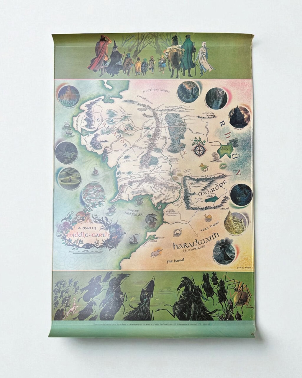
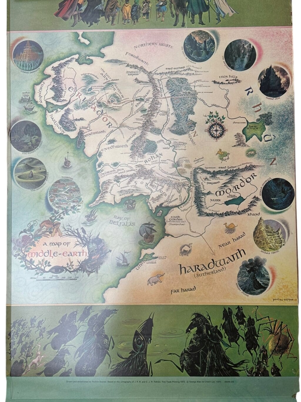
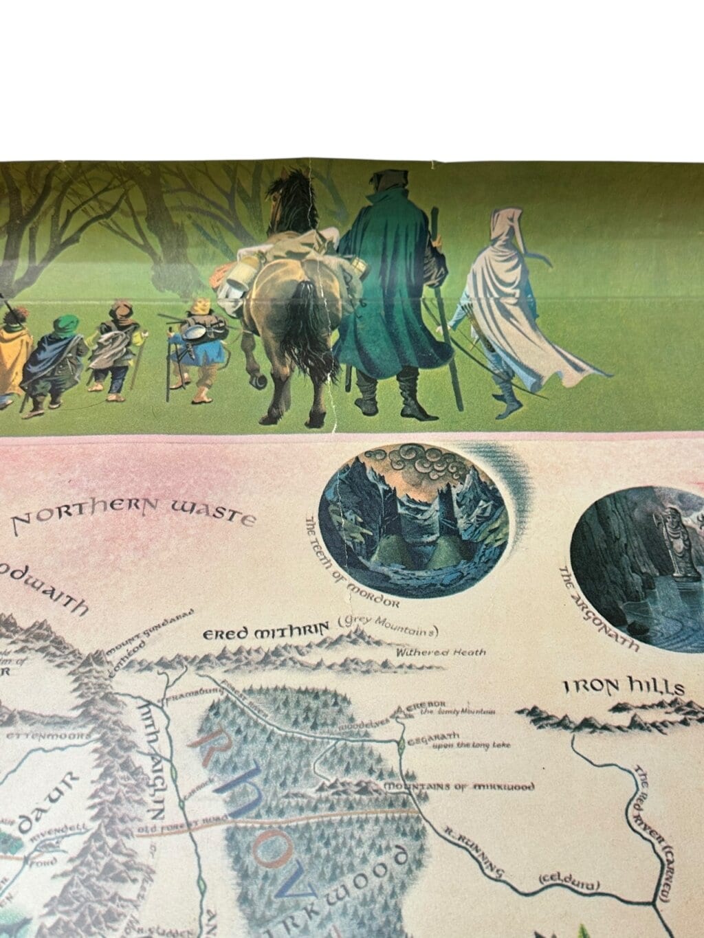
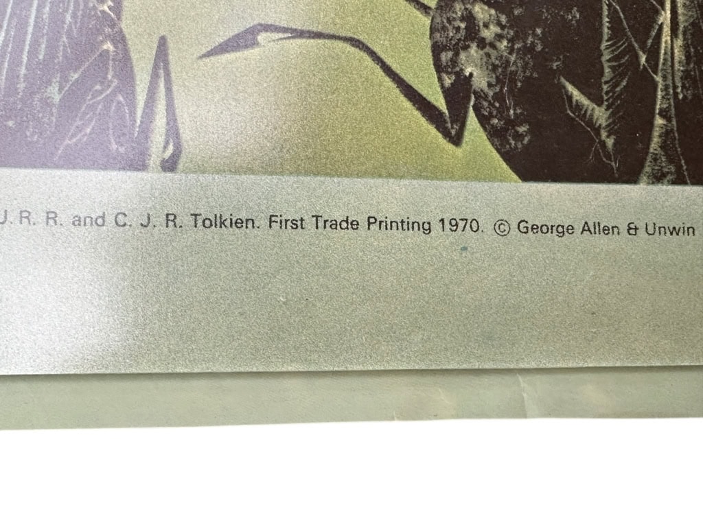
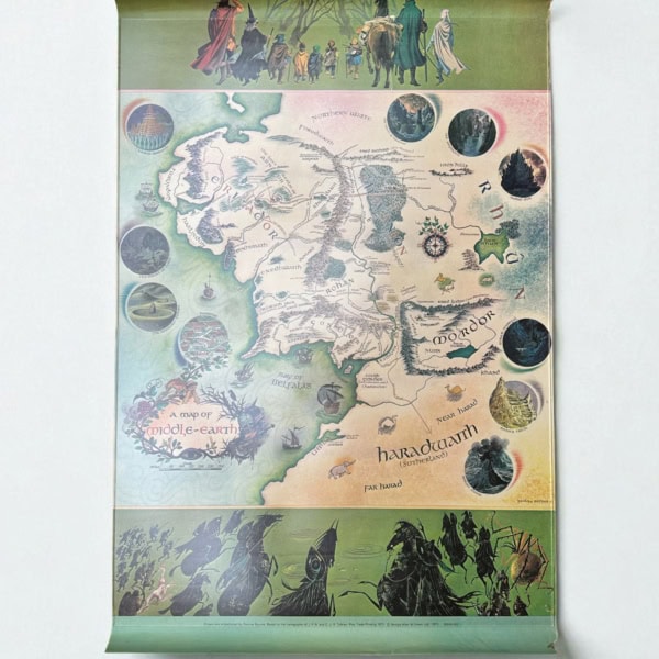
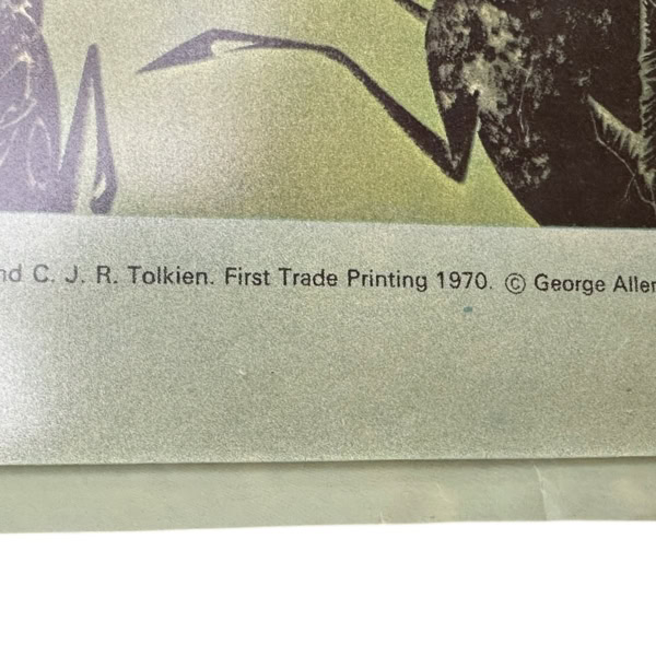
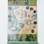
FIRST TRADE EDITION of the map of Middle-Earth, colour-printed poster map in good condition. Some loss to corners with some edge wear and a repaired closed tear to the top edge. Pauline Baynes’s celebrated map, ‘based on the cartography of J.R.R. and C.J.R. Tolkien’ – the copy of the original printed map, annotated extensively by Tolkien, on which this version was based was sold by Blackwell’s in 2015 and is now in the Bodleian Library; it shows the extent of his input, as well as the artist’s skill in rendering his instructions in visual form. A hugely popular piece of ‘Lord of the Rings’ ephemera, here in better state than often met with. (Hammond & Anderson Eii4). The map is NOT framed. Map measures 730 x 510mm.
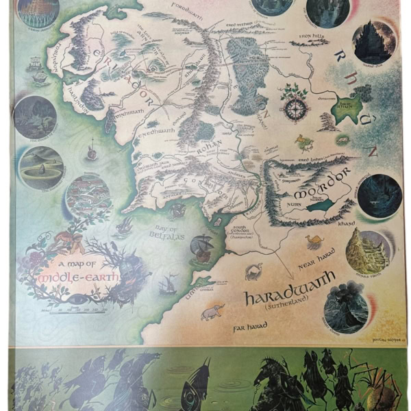
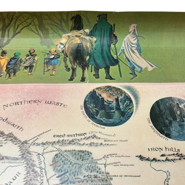
Pauline Baynes, renowned for her illustrations in C.S. Lewis’s “The Chronicles of Narnia,” created the iconic map in 1970. Commissioned by J.R.R. Tolkien himself, this map visually brings to life the world described in Tolkien’s “The Lord of the Rings” and “The Hobbit.” Baynes’s map is noted for its detailed artistry and imaginative flair, which capture the rich, mythical essence of Middle-earth. Her map integrates key locations such as the Shire, Rivendell, Mordor, and Gondor, along with geographical features like mountains, rivers, and forests. Beyond mere cartography, Baynes infused the map with vignettes and decorative borders, featuring characters and scenes from Tolkien’s works. This artistic choice not only provides geographical context but also narratively enriches the visual experience.
Baynes’s collaboration with Tolkien was meticulous, ensuring accuracy and alignment with the author’s vision. Tolkien himself appreciated her ability to convey the fantasy and depth of Middle-Earth, adding authenticity to her work. The map has since become a cherished artefact among Tolkien enthusiasts, valued for its blend of illustrative beauty and faithful representation of the beloved literary world. Baynes’s map remains a testament to her skill and complements Tolkien’s storytelling.
Read all about the original annotated map of Middle-Earth in the Bodleian Library here
View our copy of the Lord of the Rings here
(We don't keep all of our stock in the shop, so send us an email if you're planning a trip to see a particular author or book.)
- Description
Description
FIRST TRADE EDITION of the map of Middle-Earth, colour-printed poster map in good condition. Some loss to corners with some edge wear and a repaired closed tear to the top edge. Pauline Baynes’s celebrated map, ‘based on the cartography of J.R.R. and C.J.R. Tolkien’ – the copy of the original printed map, annotated extensively by Tolkien, on which this version was based was sold by Blackwell’s in 2015 and is now in the Bodleian Library; it shows the extent of his input, as well as the artist’s skill in rendering his instructions in visual form. A hugely popular piece of ‘Lord of the Rings’ ephemera, here in better state than often met with. (Hammond & Anderson Eii4). The map is NOT framed. Map measures 730 x 510mm.
Pauline Baynes, renowned for her illustrations in C.S. Lewis’s “The Chronicles of Narnia,” created the iconic map in 1970. Commissioned by J.R.R. Tolkien himself, this map visually brings to life the world described in Tolkien’s “The Lord of the Rings” and “The Hobbit.” Baynes’s map is noted for its detailed artistry and imaginative flair, which capture the rich, mythical essence of Middle-earth. Her map integrates key locations such as the Shire, Rivendell, Mordor, and Gondor, along with geographical features like mountains, rivers, and forests. Beyond mere cartography, Baynes infused the map with vignettes and decorative borders, featuring characters and scenes from Tolkien’s works. This artistic choice not only provides geographical context but also narratively enriches the visual experience.
Baynes’s collaboration with Tolkien was meticulous, ensuring accuracy and alignment with the author’s vision. Tolkien himself appreciated her ability to convey the fantasy and depth of Middle-Earth, adding authenticity to her work. The map has since become a cherished artefact among Tolkien enthusiasts, valued for its blend of illustrative beauty and faithful representation of the beloved literary world. Baynes’s map remains a testament to her skill and complements Tolkien’s storytelling.
Read all about the original annotated map of Middle-Earth in the Bodleian Library here
View our copy of the Lord of the Rings here

